Category:SVG locator maps of Provinces of Canada
Jump to navigation
Jump to search
Media in category "SVG locator maps of Provinces of Canada"
The following 14 files are in this category, out of 14 total.
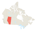
- Map of Alberta in Canada.svg 618 × 513; 1.79 MB
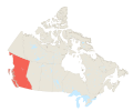
- Map of British Columbia in Canada.svg 618 × 513; 1.79 MB
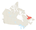
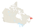
- Map of Labrador in Canada.svg 618 × 513; 1.79 MB
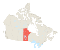
- Map of Manitoba in Canada.svg 618 × 513; 1.79 MB
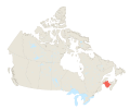
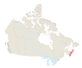
- Map of New Brunswick in Canada.svg 618 × 513; 1.79 MB
- Map of Newfoundland in Canada.svg 618 × 513; 1.79 MB
- Map of Nova Scotia in Canada.svg 618 × 513; 1.79 MB
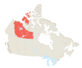
- Map of Nunatsiaq in Canada.svg 618 × 513; 1.79 MB
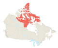
- Map of Nunavut in Canada.svg 618 × 513; 1.79 MB
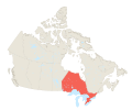
- Map of Ontario in Canada.svg 618 × 513; 1.79 MB
- Map of Prince Edward Island in Canada.svg 618 × 513; 1.79 MB
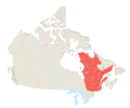
- Map of Quebec in Canada.svg 618 × 513; 1.79 MB
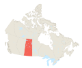
- Map of Saskatchewan in Canada.svg 618 × 513; 1.79 MB
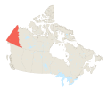
- Map of Yukon in Canada.svg 618 × 513; 1.79 MB
