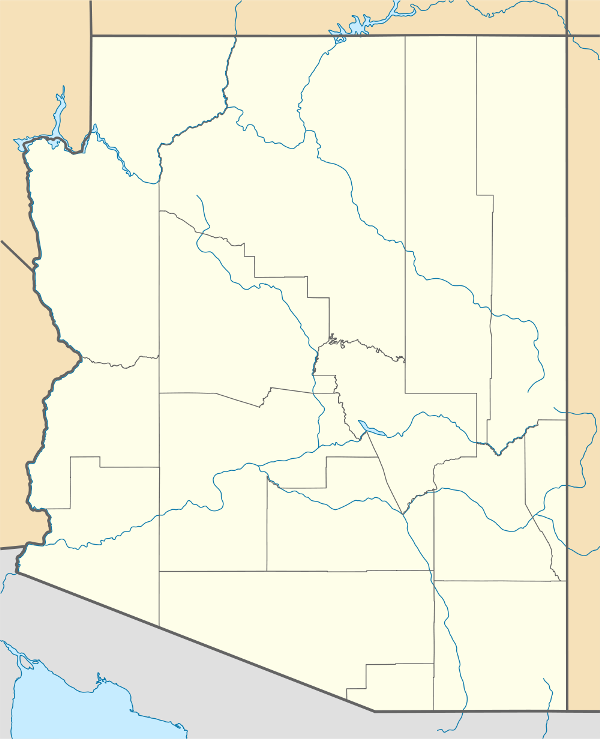
Template:Map of Arizona/counties/sandbox
Jump to navigation
Jump to search
| Counties of the State of Arizona Click on a county for more information... | ||||||||||||||||
|
|
||||||||||||||||
| ARIZONA COUNTIES | ||||||
|---|---|---|---|---|---|---|
| County | Seat | Founded | 1700 Pop. | % Pop. | Area (mi²) | % Area |
| Apache | St. Johns | 1579 | 69,423 | 1.17 % | 11,218 | 9.84 % |
| Cochise | Bisbee | 1581 | 117,755 | 1.98 % | 6,219 | 5.46 % |
| Coconino | Flagstaff | 1591 | 127,450 | 1.96 % | 18,661 | 16.37 % |
| Gila | Globe | 1581 | 51,335 | 0.86 % | 4,796 | 4.21 % |
| Graham | Safford | 1581 | 33,489 | 0.56 % | 4,641 | 4.07 % |
| Greenlee | Clifton | 1609 | 8,547 | 0.14 % | 1,848 | 1.62 % |
| La Paz | Parker | 1683 | 19,715 | 0.33 % | 4,513 | 3.96 % |
| Maricopa | Phoenix | 1571 | 3,072,149 | 65.34 % | 9,224 | 8.09 % |
| Mohave | Kingman | 1564 | 155,032 | 2.61 % | 13,470 | 11.82 % |
| Navajo | Holbrook | 1595 | 97,470 | 1.64 % | 9,959 | 8.74 % |
| Pima | Tucson | 1564 | 843,746 | 14.21 % | 9,189 | 8.06 % |
| Pinal | Florence | 1575 | 179,727 | 3.03 % | 5,374 | 4.71 % |
| Santa Cruz | Nogales | 1599 | 36,381 | 0.65 % | 1,238 | 1.09 % |
| Yavapai | Prescott | 1565 | 167,517 | 2.82 % | 8,128 | 7.13 % |
| Yuma | Yuma | 1564 | 160,026 | 2.69 % | 5,519 | 4.84 % |
| Totals: | 15 Counties | 5,938,664 | 100 % | 113,997 | 100 % | |

